Treasure Map from Peru 1753 "Amazon" Colored
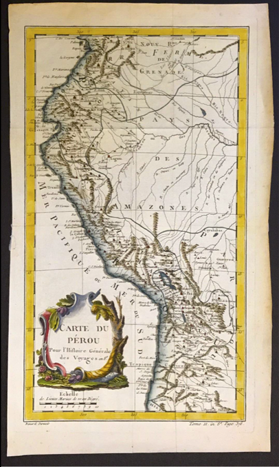
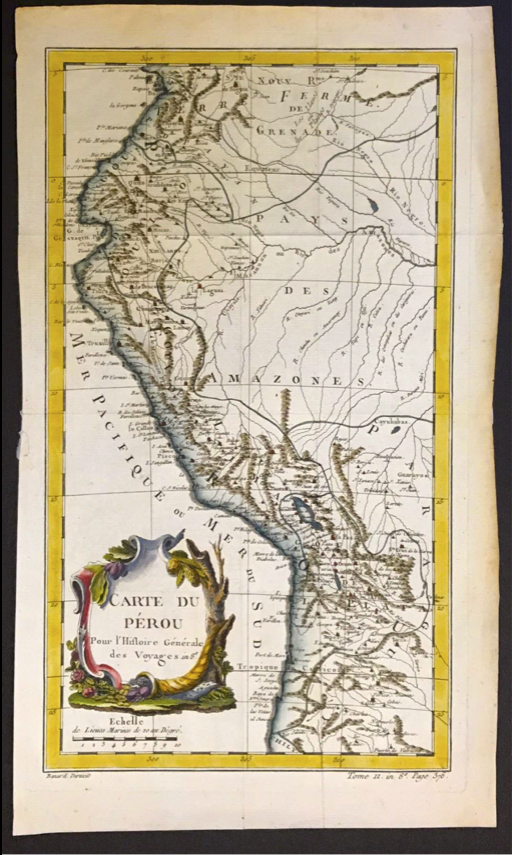
PERU (and part of AMAZON) Large (16-3/8" x 9-15/8") Copperplate - engraved FRENCH map. Circa 1753 and hand colored. This detailed Map articulates PERU's Coastline at the time when the PERU mint - LIMA, was still hand forgeing Coins! Even the Cuzco mint was still in service. The Spanish Galleons sent two fleets at the same time, both leaving Spain and one veering off to pick up Treasure in LIMA PERU and coming back up to pick up at Bogata Colombia while on the way to the meeting point in Havana Cuba; while the fleet sailed straight over to Mexico to pick up Treasure there before meeting up with the sister fleet in Havana.
This gorgeous Map displays not only PERU's coastline but also parts of the AMAZON. The Cartouches in the corner displays the engraving name, bar scale and additional location Voyages. A gorgeous piece of History! x .
This gorgeous Map displays not only PERU's coastline but also parts of the AMAZON. The Cartouches in the corner displays the engraving name, bar scale and additional location Voyages. A gorgeous piece of History! x .


